Download the Full Paper Template:

Online Full Paper Submission Platform:


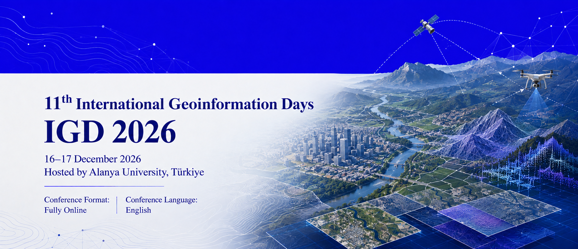
11th International Geoinformatics Days
IGD 2026
16–17 December 2026
Hosted by Alanya University, Türkiye
Conference Format: Fully Online
Conference Language: English
Call for Full Papers
Alanya University is pleased to announce the 11th International Geoinformatics Days (IGD 2026), which will be held fully online on 16–17 December 2026.
IGD 2026 will bring together researchers, academicians, graduate students, engineers, planners, government representatives, industry professionals and technology developers working in geoinformatics, geomatics engineering, remote sensing, geographic information systems, surveying, photogrammetry, spatial planning, Earth observation and related disciplines.
The symposium provides an international scientific platform for presenting original research, exchanging technical knowledge, introducing innovative geospatial technologies and developing interdisciplinary and institutional collaborations.
Researchers are invited to submit their original full papers addressing the conference themes and related areas of geoinformation science and technology.
General Information
|
Item |
Information |
|
Official title |
11th International Geoinformatics Days |
|
Abbreviation |
IGD 2026 |
|
Dates |
16–17 December 2026 |
|
Host institution |
Alanya University, Türkiye |
|
Format |
Fully online |
|
Presentation platform |
Zoom |
|
Conference language |
English |
|
Submission type |
Full papers |
|
Presentation type |
Online oral presentation |
|
Participants |
International academics, researchers, students, professionals and institutional representatives |
|
Proceedings |
Accepted and presented papers will be published in the official conference proceedings |
|
Certificates |
Digital presentation and participation certificates will be provided |
|
|
|
About International Geoinformatics Days
International Geoinformatics Days is an interdisciplinary scientific symposium dedicated to the collection, processing, analysis, visualization, management and practical application of geospatial information.
The scientific initiative began at the Department of Geomatics Engineering, Faculty of Engineering, Mersin University, in 2020 under the title Intercontinental Geoinformation Days. The first seven editions created an international platform for scholars working in geomatics, remote sensing, GIS, photogrammetry, surveying and Earth observation.
In 2025, the event held at the University of Tehran adopted the title 10th International Geoinformatics Days. IGD 2026 follows the numbering adopted by the 2025 conference and expands the scientific scope of the symposium under the international coordination and hosting of Alanya University.
Previous Editions
|
Edition |
Date and location |
|
1st Intercontinental Geoinformation Days |
25–26 November 2020, Mersin, Türkiye; online |
|
2nd Intercontinental Geoinformation Days |
5–6 May 2021, Mersin, Türkiye; online |
|
3rd Intercontinental Geoinformation Days |
17–18 November 2021, Mersin, Türkiye; online |
|
4th Intercontinental Geoinformation Days |
20–21 June 2022, Tabriz, Iran |
|
5th Intercontinental Geoinformation Days |
14–15 December 2022, New Delhi, India |
|
6th Intercontinental Geoinformation Days |
13–14 June 2023, Baku, Azerbaijan |
|
7th Intercontinental Geoinformation Days |
18–19 November 2023, Peshawar, Pakistan; online |
|
10th International Geoinformatics Days |
29–30 November 2025, University of Tehran, Iran; hybrid |
|
11th International Geoinformatics Days |
16–17 December 2026, Alanya University, Türkiye; fully online |
Objectives of IGD 2026
IGD 2026 aims to:
Conference Scope
1. Geomatics and Surveying
1.1. Geomatics and measurement science
1.2. Physical and satellite geodesy
1.3. Reference systems and geodynamics
1.4. GNSS positioning and navigation
1.5. Engineering and cadastral surveying
1.6. Deformation and displacement monitoring
1.7. Industrial metrology and calibration
1.8. Indoor and underground mapping
1.9. Sensor integration and accuracy
1.10. Engineering geomatics applications
2. Remote Sensing and Earth Observation
2.1. Optical and thermal remote sensing
2.2. RADAR, SAR and InSAR
2.3. Satellite and airborne observation
2.4. Remote-sensing sensors and calibration
2.5. Radiometric and atmospheric correction
2.6. Image classification and change detection
2.7. Data fusion and time-series analysis
2.8. Spectral and physical modelling
2.9. Field and laboratory validation
2.10. Earth-observation applications
3. GIS and Spatial Analytics
3.1. GIS theory and data models
3.2. Spatial and temporal analysis
3.3. Spatial databases and cloud GIS
3.4. Spatial data infrastructures
3.5. Desktop, mobile and Web GIS
3.6. Spatial decision-support systems
3.7. Network and accessibility analysis
3.8. Spatial statistics and geostatistics
3.9. Cartography and geovisualization
3.10. Open and collaborative mapping
4. Photogrammetry, UAVs and LiDAR
4.1. Aerial and terrestrial photogrammetry
4.2. Close-range photogrammetry
4.3. UAV design and operation
4.4. UAV sensors and navigation
4.5. UAV mission planning and safety
4.6. Airborne and terrestrial LiDAR
4.7. Mobile and UAV LiDAR
4.8. Point-cloud registration and filtering
4.9. Point-cloud classification
4.10. 3D modelling and reconstruction
5. GeoAI and Spatial Data Science
5.1. Geospatial artificial intelligence
5.2. Spatial machine learning
5.3. Deep learning and foundation models
5.4. Spatial data mining
5.5. Geospatial computer vision
5.6. Explainable and responsible GeoAI
5.7. Generative AI and synthetic data
5.8. Knowledge graphs and ontologies
5.9. Real-time and Edge GeoAI
5.10. Applied GeoAI solutions
6. Land Administration and Management
6.1. Land policy and governance
6.2. Land tenure and property rights
6.3. Cadastre and cadastral renewal
6.4. Land Administration Domain Model
6.5. Land-use planning and control
6.6. Land consolidation and protection
6.7. Land readjustment and regeneration
6.8. Property valuation and markets
6.9. Land information systems
6.10. Integrated resource management
7. Environmental Geoinformatics
7.1. Environmental GIS and assessment
7.2. Climate monitoring and modelling
7.3. Land-cover and landscape change
7.4. Forestry and vegetation monitoring
7.5. Precision agriculture and food security
7.6. Water and groundwater monitoring
7.7. Soil degradation and desertification
7.8. Biodiversity and ecosystem assessment
7.9. Pollution and contamination monitoring
7.10. Natural-resource management
8. Disaster Risk and Resilience
8.1. Disaster-risk assessment
8.2. Earthquake and seismic hazards
8.3. Flood and drought modelling
8.4. Landslide-risk assessment
8.5. Wildfire detection and mapping
8.6. Coastal and tsunami hazards
8.7. Vulnerability and resilience assessment
8.8. Early-warning systems
8.9. Emergency and evacuation planning
8.10. Post-disaster damage assessment
9. Transportation and Navigation
9.1. Transportation GIS
9.2. Intelligent transportation systems
9.3. Traffic monitoring and prediction
9.4. Routing and network optimization
9.5. Indoor and outdoor navigation
9.6. Location-based services
9.7. Autonomous and connected vehicles
9.8. Maritime and aviation navigation
9.9. Public-transport accessibility
9.10. Sustainable mobility and logistics
10. Earth and Engineering Geosciences
10.1. Geology and mineralogy
10.2. Geomorphology and surface processes
10.3. Geophysics and seismology
10.4. Hydrology and hydrogeology
10.5. Soil and subsurface studies
10.6. Mineral and energy exploration
10.7. Engineering geology
10.8. Mining geoinformatics
10.9. Infrastructure monitoring
10.10. Geological-hazard assessment
11. Hydrospatial and Marine Mapping
11.1. Hydrographic surveying and bathymetry
11.2. Sonar and marine sensing
11.3. Marine positioning and navigation
11.4. Coastal and shoreline mapping
11.5. Seabed and underwater modelling
11.6. Marine environmental monitoring
11.7. Nautical cartography
11.8. Marine spatial data
11.9. Offshore and port surveying
11.10. Autonomous marine mapping
12. Digital Twins and Geospatial Governance
12.1. Geospatial digital twins
12.2. 3D and 4D modelling
12.3. BIM and GIS integration
12.4. IoT and sensor networks
12.5. Infrastructure digital twins
12.6. Environmental digital twins
12.7. Spatial simulation and prediction
12.8. Standards and interoperability
12.9. Data governance and ethics
12.10. Extended reality and education
Interdisciplinary studies related to the broader field of geoinformatics are also welcome.
Who Should Participate?
IGD 2026 welcomes participation from:
Submission Guidelines
Review and Acceptance Process
Submitted papers will be evaluated according to:
Acceptance decisions may include:
Final acceptance is conditional upon completing all required revisions, registration and online presentation.
Publication Opportunities
All accepted and presented full papers will be published in the official IGD 2026 Conference Proceedings.
The proceedings publication is intended to include:
Selected high-quality papers may also be invited to submit substantially extended versions for possible publication in collaborating academic journals or edited books. Any extended manuscript will be subject to the scope, editorial policies and independent peer-review procedures of the relevant publication.
An invitation to submit an extended version does not guarantee journal or book acceptance.
Online Presentation Information
IGD 2026 will be conducted fully online through Zoom.
Registration
Registration is required for all presenting authors and participants.
Registration information, applicable fees, payment procedures and deadlines will be announced through the official IGD 2026 website. At least one author of each accepted paper must register for the paper to be included in the final program and proceedings.
Registration normally covers:
Organizing Institution
Alanya University
Alanya, Antalya, Türkiye
Alanya University will host the 11th International Geoinformatics Days on 16–17 December 2026 as a fully online international scientific symposium.
Information regarding the honorary committee, symposium chair, organizing committee, scientific committee, secretariat, invited speakers, publication editors, registration fees and submission portal will be published on the official conference website.
Short Homepage Announcement
Call for Full Papers: IGD 2026
The 11th International Geoinformatics Days (IGD 2026) will be hosted by Alanya University, Türkiye, on 16–17 December 2026 as a fully online international symposium via Zoom. Researchers and professionals are invited to submit original full papers in geoinformatics, geomatics engineering, GIS, remote sensing, photogrammetry, surveying, GeoAI, spatial planning, environmental monitoring, disaster management and related geospatial disciplines. All accepted and presented papers will be considered for publication in the official conference proceedings.
Conference dates: 16–17 December 2026
Format: Fully online via Zoom
Host: Alanya University, Türkiye
Submission: Full papers only
Language: English
Download the Full Paper Template:
Online Full Paper Submission Platform: